Severe Weather Warning
Severe Weather Warning
for damaging winds
for people in the Metropolitan, Hunter and Illawarra forecast districts
Issued at 10:52 am EST on Friday 22 May 2015.
DAMAGING WINDS FOR CENTRAL PART OF COAST.
Weather Situation
A complex low pressure system is slowly deepening over the western Tasman Sea. A trough extending from the low to near the NSW central coast is expected to intensify and move to the north during the day, with gale-force southerly winds along the coastal fringe between Ulladulla and Seal Rocks. Winds are expected to gradually ease this evening.
DAMAGING WINDS averaging 55 to 65 km/h with gusts of 90 km/h are forecast for the coastal fringe of the Illawarra, Metropolitan and Hunter (including the Central Coast) forecast districts today.
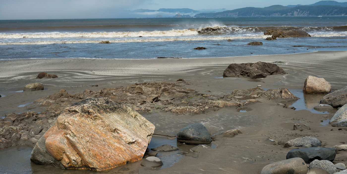
Dangerous surf conditions will also develop today, hazardous for coastal activities such as rock fishing, swimming and surfing.
The Warning for heavy rainfall in the Illawarra district has been cancelled though isolated thunderstorms and briefly heavy rain remain possible through the warning area.
Winds averaging 65 km/h have been reported from Bellambi and Kiama this morning, with wind gusts of 85 km/h reported from Norah Head and 81 km/h reported from Sydney Airport and North Head.
The State Emergency Service advises that people should:
- Move vehicles under cover or away from trees.
- Secure or put away loose items around your house, yard and balcony.
- Keep clear of fallen power lines.
For emergency help in floods and storms, ring your local SES Unit on 132 500.
The next warning will be issued by 5:00 pm EST Friday.
This warning is also available through TV and Radio broadcasts; the Bureau’s website at www.bom.gov.au